
This is the 6:53 AM photo from where I spent last night:

Started hiking at 7:13 - this is the path going up at 7:25 AM:

A close-up of Impasse Falls:

The next lake up is Twin Outlet Lake:


After that is Mount Dewey overlooking Dewey Lake:


I'm wearing shorts, t-shirt, plus my red fleece, and hiking up-up-and-up:


Past the pretty flowers at 9:16


Yes, that is a SNOW BANK DOWN THERE:

I reached Fossil Lake at 9:38 - after more than 2 hours of hiking. Fossil Lake is at 9990 feet, and Duggan Lake (where I "slept") is at 8880 feet (the parking lot is at 6206 feet):


It is pretty desolate up here:

and the only way you can get here IS TO WALK!
After Fossil Lake, this cairn marks the pass between north/south east/west (i.e. it is [mostly] downhill from here):

Looking west, past the cairn, is Fizzle Lake:

I had been going southwest, with the rising sun behind my right shoulder. I now turn south/southeast, with the sun much more ahead of me. Off with the fleece. Heading toward a pair of unnamed lakes:

Heading down past Skull Lake:

Going up I was following East Rosebud Creek (hence the "official" name of the trail "East Rosebud Trail", but it is also know as "The Beaten Path Trail"). Now that I am heading down, I am following "Russell Creek", which drains eventually into Russell Lake (I won't make it quite that far).

Another unnamed lake/pair of lakes:


that you actually ford the stream between:

This "mostly downhill" stuff is actually pretty nice, with only my daypack with my water bottles. I have passed 4 or 5 other hikers heading up; I told a couple of guys that I was camped up at Duggan Lake, and that today I would just "hike for half the day, then turn around" - they liked that idea.
4 hours 20 minutes into the hike (8.8 miles) I reached Ouzel Lake, the prettiest lake up here. Since "Ouzel" means "a bird that resembles the blackbird, especially the ring ouzel", it is no surprise that "Ouzel Lake" is not a unique name; but this lake sure is "unique" for me! I had my 1st lunch bar, with a rest, here:


As I continue to head down, the trees thicken, and the word "forest" becomes more appropriate:

but there continue to be beautiful meadows:

About 12:30 I'm getting a little worried about all this "downhill hiking" I am doing:

every step down now equals one step up later.
One hour after Ouzel Lake I reached the bridge over a creek that drains Cradle Lake, and the lakes above it:


looking upstream:

and looking downstream:

It was 12:45 - time to turn around and head home.
Interestingly, MapMyWalk shows my elevation for the day, and this bridge is almost the exact same elevation as my tent at Duggan Lake:

It was at the bridge that I met the guy heading up with skis and ski boots! I caught up with him later when he was resting, and he hoped there was some snow up there - I told him there certainly was!
Heading back up:

A last look at Ouzel Lake:

With the sun over my right shoulder, looking up at the cairn:

before heading back past Fossil Lake:

This is where I got my "white rock piece" (the "red rock piece" came from somewhere on the trail).
Some snow for my hiker friend:

By 3:40 I was catching up with 3 hikers who had passed me on my way down to the bridge:

When I caught up with them, I gave them my email address - they will email me, and I will send them these photos of "them in the wilderness".
I didn't want to take any more pictures on the way down, but sometimes Beauty Gets In The Way:


I had been thinking about my timing, and my schedule, both for today as well as for tomorrow. There were a few things on my mind:
1. I was going to get back to my tent about 5:15. Since today was only about get-up-hike-all-day-and-then-go-to-bed, I was not going to go to bed at 5:15.
2. Tomorrow (drive to Super 8 in Powell, Wyoming) was going to be long enough. Starting with almost 6 hours to hike the 13.5 miles back to the car would kill my schedule (Schedule? What schedule? There's always a schedule!).
3. After 20.5 miles so far, I was actually feeling pretty ok.
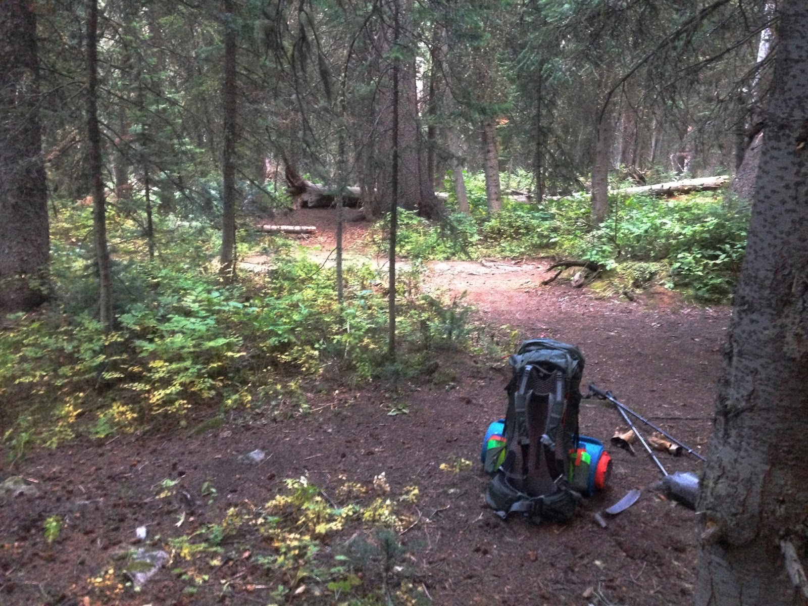
So I got back to the tent, packed it all up, and headed downhill - 4.8 miles in 1 hour 48 minutes:

A few final Shots Of Beauty on my way down:


before I set up in a PERFECT spot that God had waiting for me as the sun went down:

I know it seems like a lot, but it was A BIG DAY! I can only continue to say: Thank you God for these Beautiful Places, and for giving me the body that allows me to get out and explore!
No comments:
Post a Comment