
Today was a nice easy start (well, blogging was pretty intense). Out on the road heading east, it is nice seeing these guys around here:

Once again, the immense emptiness is almost overwhelming - looking ahead:

looking behind:

If you want to "get away from it all", I've got just the place for you!
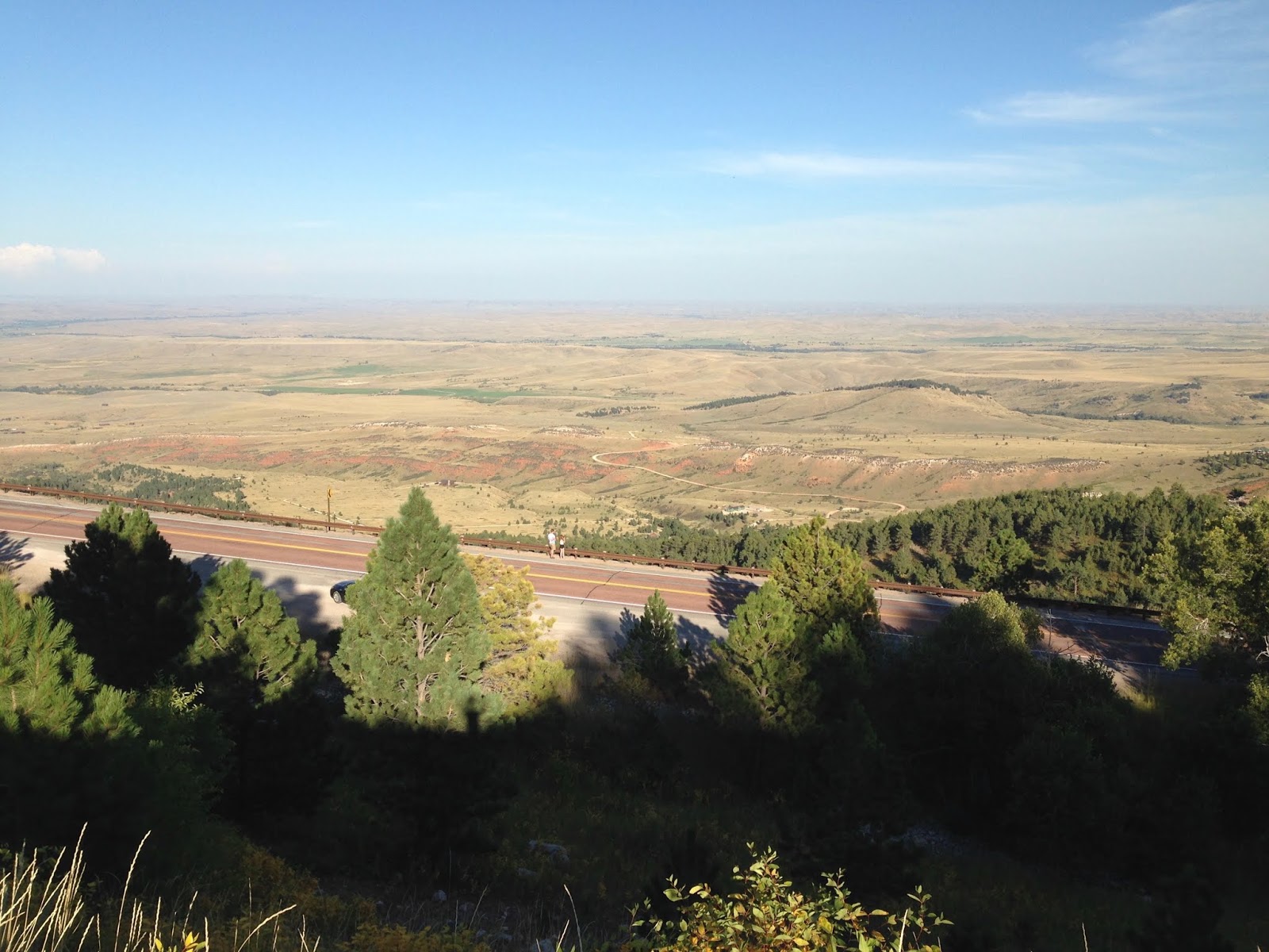
And then suddenly the Bighorn Mountains just pop up out of the prairie:

Even with Google Earth it is difficult to get a sense of the abruptness. But the views looking back down are amazing:


It was a long dirt road getting to Porcupine Falls Trailhead #135:


Parking was easy, and the trail was easy to find. Google Earth seems to give the best idea of what it is like - switchbacks down-down-down until you get to the base of the falls:


With the Falls in darkness, it is tough to get a good picture:


The geology is wonderful to see:

Then it was back out the dirt roads. My only comment to Willard is - I wish there were a little more "forest" in the "Bighorn National Forest":

Sure is pretty, though.
Had a good lunch at the Elk View Inn:

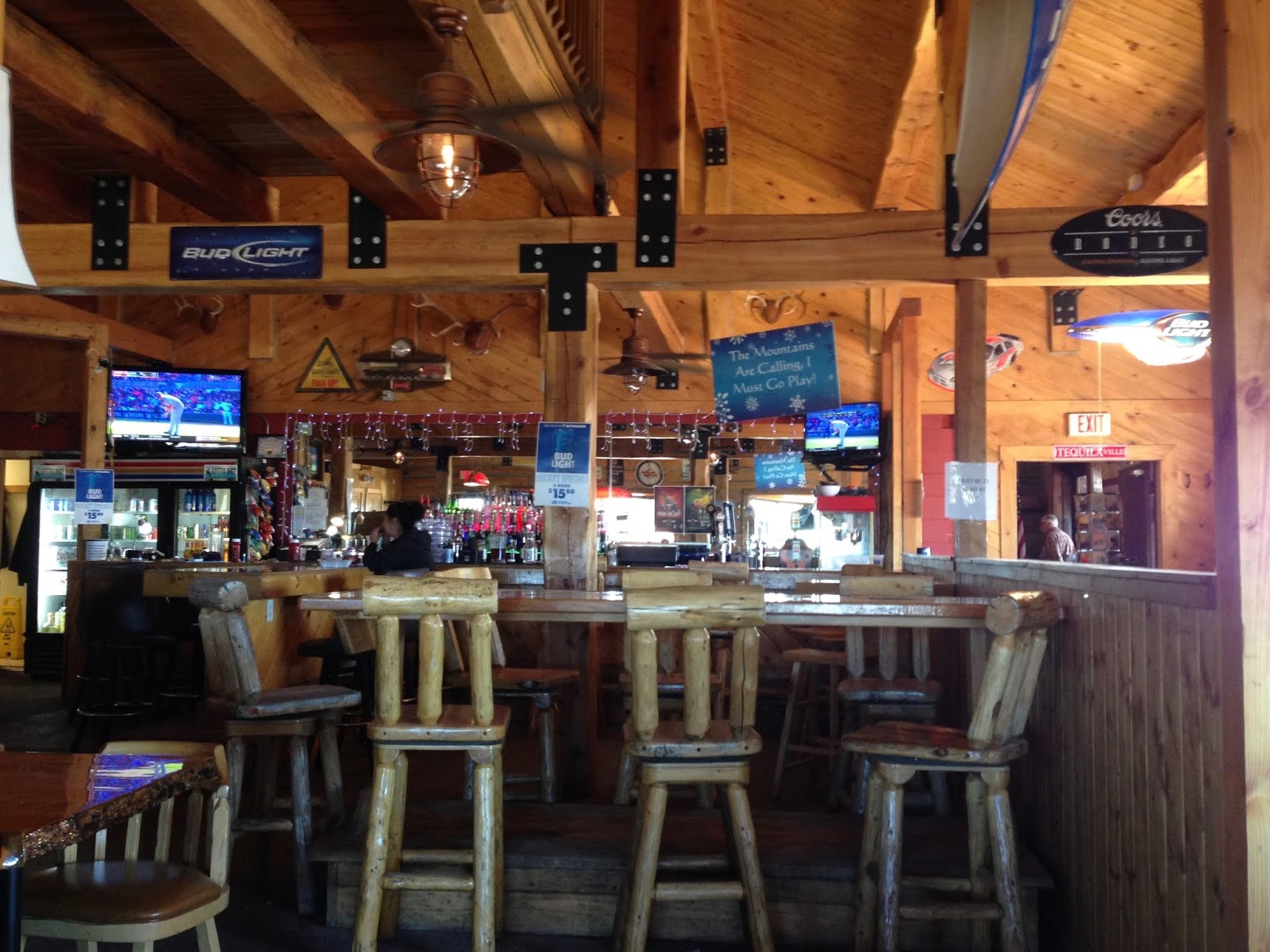
It being Monday, Labor Day afternoon, they had the Red Sox game on!
Big Beautiful Country on my way down to Shell Falls Interpretive Site:


The Shell Falls Interpretive Site:


is a series of walkways (with information displays) going alongside a HUGE CHASM (Shell Canyon) carved by Shell Creek, and the Falls in this location:


Side Note on taking pictures of canyons (or anything with HUGE Bright/Dark contrasts). I find it works best (for me) to Edit the photo: slide the far-left Luminance control a little to the left (brings out the shadows), and slide the Light control a little to the right to brighten it all a little (Don't Overdo It!):

(maybe I'll study this stuff someday.)
An hour later I was crossing Copper Creek:

on my way to the Tie Flume Campground. I've been trying to figure out why this was on my list, but there is a Very Pretty stream behind the campground:


I then went back to the highway (US 14 East) to take me out of the Bighorns, but I had to stop and take a picture at the Arrowhead Lodge where Williard and I had a great dinner back at the end of September 2013:

Then it was down out of the mountains:

I LOVE what "coasting down out of the mountains" does for my gas milage!

This means that when I filled up at 9 PM in Sheridan, the car thought that I can get 800 miles on a tank of gas!!!
I checked into the Super 8 Sheridan at 6:30

and made the 7:10 show of Mile 22:

WOW - Super High on the Action scale, but also Super High on the body count. But I had a Great time.
Thank you God for this Great Country, and for the ability to get out and experience it!
quiet music in the morning for blogging:
Joni Mitchell - Blue, 1971

Hot Tuna - Hot Tuna, 1970 [1969 live recording, their first album]

This is a great acoustic album - Jorma Kaukonen on guitar, Jack Casady on bass, and Will Scarlett on harmonica.
driving Music - back to basic rock 'n roll:
since I enjoyed Hot Tuna, I kept it "in the family": Jefferson Airplane - Bless Its Pointed Little Head, 1969 live album

Joe Jackson - Blaze of Glory, 1989

I listened to this album twice - I really like Joe Jackson's "urban vibe", which is a nice contrast withe the Bighorn National Forest wilderness/wildness.
No comments:
Post a Comment