
Spoiler Alert: Today was one of THE MOST BEAUTIFUL HIKES I HAVE EVER DONE.
The trail is just west of Bishop, so after another great breakfast I headed up the road:


Unfortunately I didn't read my directions very closely, and wound up at North Lake to begin with (instead of South Lake):

Eventually I drove over to South Lake:

This is my first Saturday hiking out here, and IT IS CROWDED. I had to park 0.64 mile down from the trailhead, but I did it and started hiking. I was at the trailhead at 11:26, and 4 minutes later looking down at South Lake


The Trail goes through forest and meadow, and past lakes:


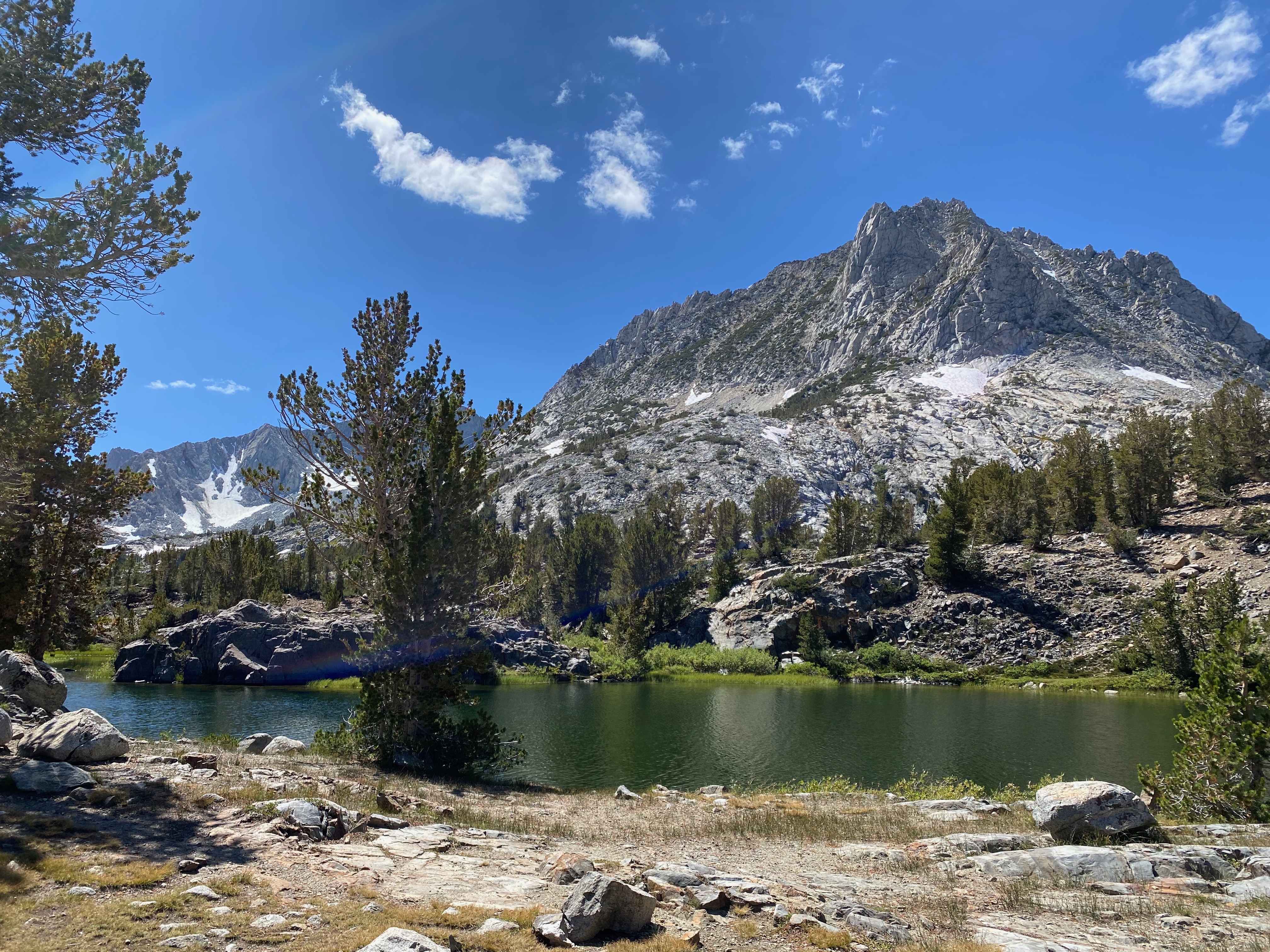


If you look closely, the names of the lakes include Long Lake, Saddlerock Lake, and Bishop Lake - they are all beautiful:


The Trail keeps going up:


As is true of all "mountain pass" trails, you run out of "the pretty stuff", and hit the snowfields and "more vertical" stuff:


The switchbacks allow me to see both a guy just a little ahead of me, plus people at the top of the ridge:

As I go up the switchbacks, looking back behind me:
Final push up to the Pass:

I reached Bishop Pass at 3:10

My experience with "Mountain Passes" is that you hike up to the Pass, there is a flat area of about 20 feet, and then you hike down the other side (or just stand there and take in the view). Bishop Pass, however, was my first experience with "Mountain Pass as flatland":


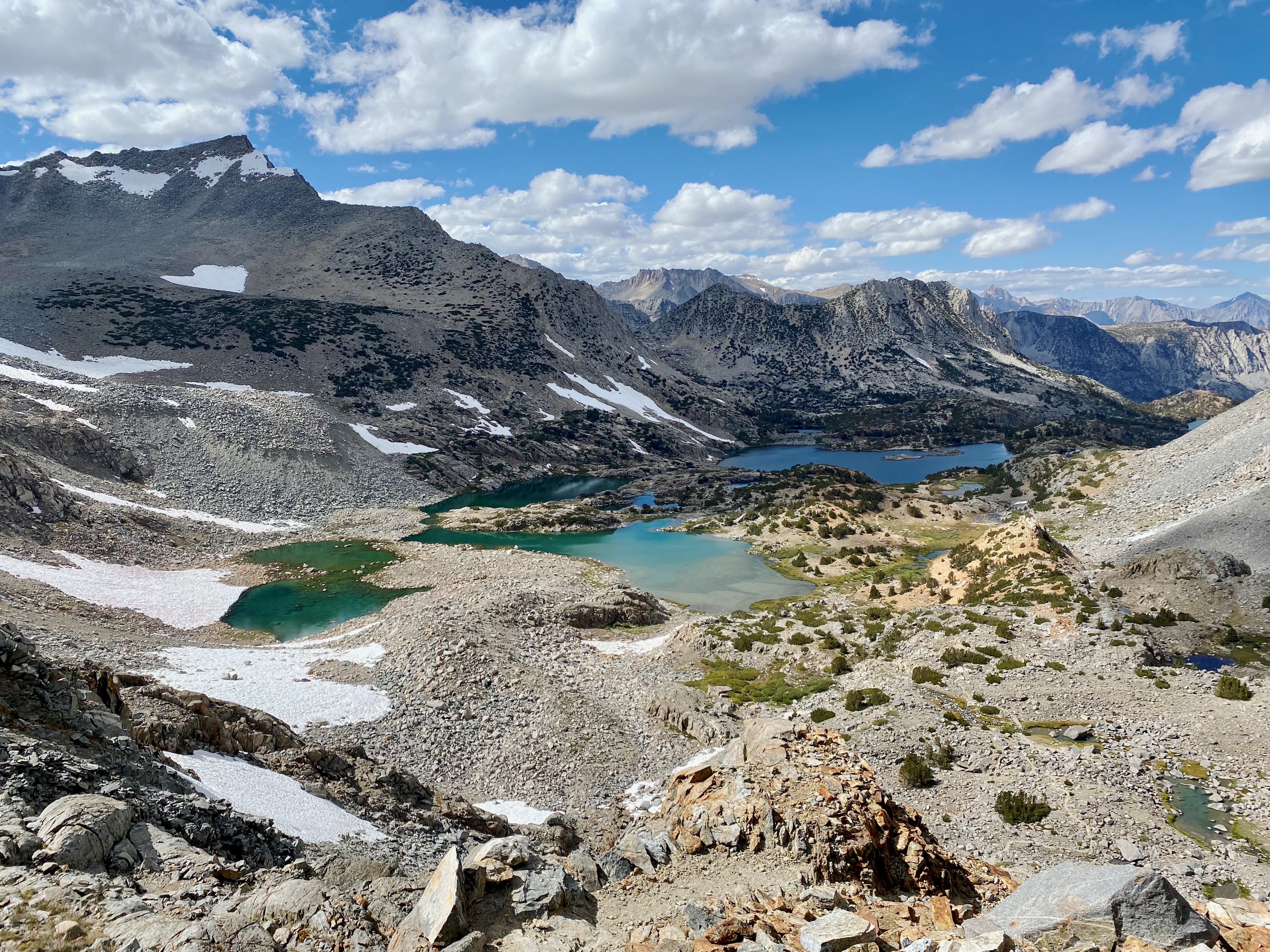
We discussed how much farther we need to go to get "the view". After a while, they figured it wasn't going to be worth it, and packed up and headed back down. After finishing my sandwich (well, actually 1/2 of my sandwich - I have the other half for dinner), I thought, "Well, when am I ever going to be here again? I might as see what it looks like." So I hiked 10 minutes down the trail (1/3 of a mile) and reached "the view" where I could actually see some (unnamed) lakes:

As is the case any time you descend over a Pass, you have to ascend to get back to the Pass:

Usually I don't take pictures on the way back down, but here you go:


MapMyWalk died halfway back down (and my backup charger didn't have any more power in it):

I drove 53 miles today. Thank you God for this Wonderful HIKING-IN-BEAUTY Day!
No comments:
Post a Comment