
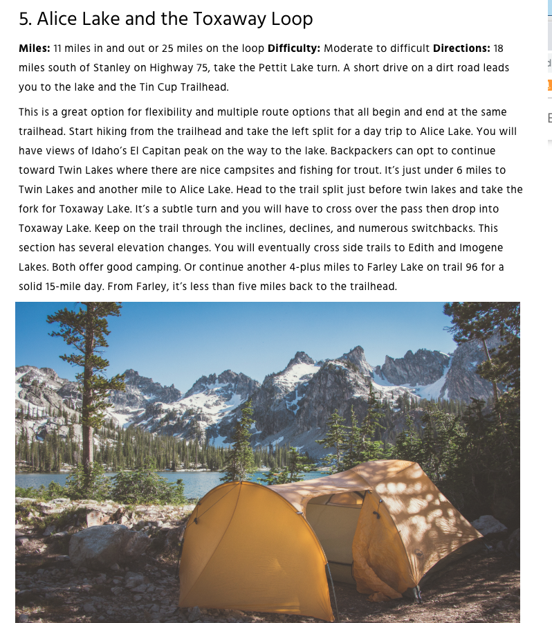
to hike the Alice Lake and the Toxaway Loop - here is the Idaho Tourism description:
and here is how it looks on AllTrails

Please note the leafy green salad with my breakfast this morning:

and while I was waiting for breakfast to be served, I went outside to appreciate the morning beauty of Redfish Lake:

The Lodge likes old-timey things - this was on a table outside my room:

46° at 8:33 this morning. Nice drive:

down to Pettit Lake:

I started hiking at 9:28

Going up to Alice Lake and coming down from Toxaway Lake:

It is about 5 1/2 miles up to Alice Lake. It is a beautiful day to be out in the Sawtooth Wilderness:


Looking back down the valley:

And then I got up to what I will call "False Alice Lake"


It looked like a really nice lake, but Alice Lake was a little beyond it. The mountain behind it is El Capitan.
So I took the trail past it:

to get to the "real Alice Lake":


I kept hiking and got to the turnoff for Twin Lakes at 1:30

I took it, but I was confused because I thought (and my maps show) there was only one trail up-and-over to Toxaway Lake. Well, I can always backtrack to this sign to get up-and-over.
Um, the Twin Lakes are beautiful:


I just sort of stayed on a trail that went around the lake:

which matches the "official" map:

as opposed to "the other trail":

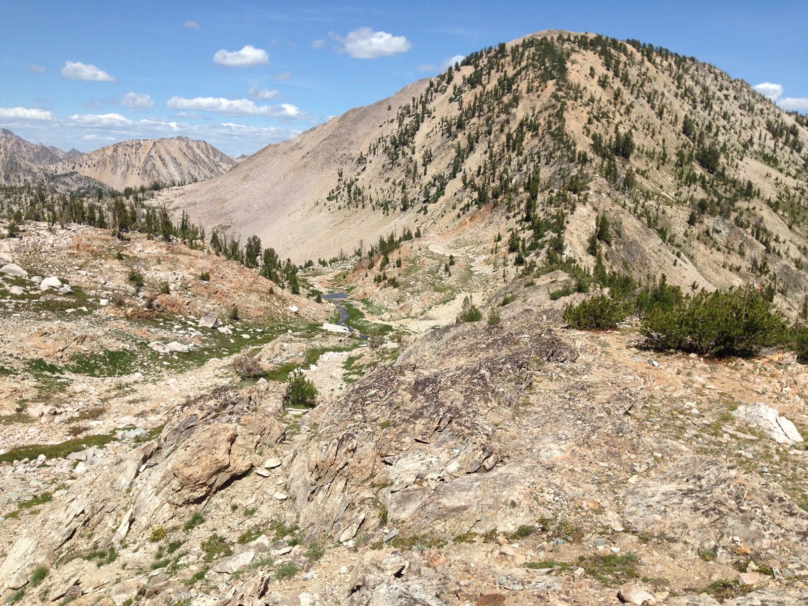
I LOVED going up along the mountain-side:

Spectacular views back down at Twin Lakes:


Up to the ridgeline:
then hike down along it:

Looking down at unnamed lake at 3 PM:

And then it was just a good long hike down the valley:

past Toxaway Lake,

rockslides,

and meadows:

I kind-of washed myself off in a nice roaring brook:

Got back to the car at 7:39. WOW - 21.13 miles in 10 hours 11 minutes. A couple of shots to see it in Google Earth:


and said goodnight to Pettit Lake at 7:50

The Sawtooth Mountains sure are pretty! Thank you God for this wonderful adventure day!
I like starting the morning off listening to books-on-tape. William Gibson (my sci-fi author from last year's trip) wrote another trilogy (known as the Blue Ant trilogy [Hubertus Bigend]): Pattern Recognition (2003), Spook Country (2007), and Zero History (2010). Because it is cold in the morning (windows up), today I continued with "Pattern Recognition", cd 5:

No comments:
Post a Comment